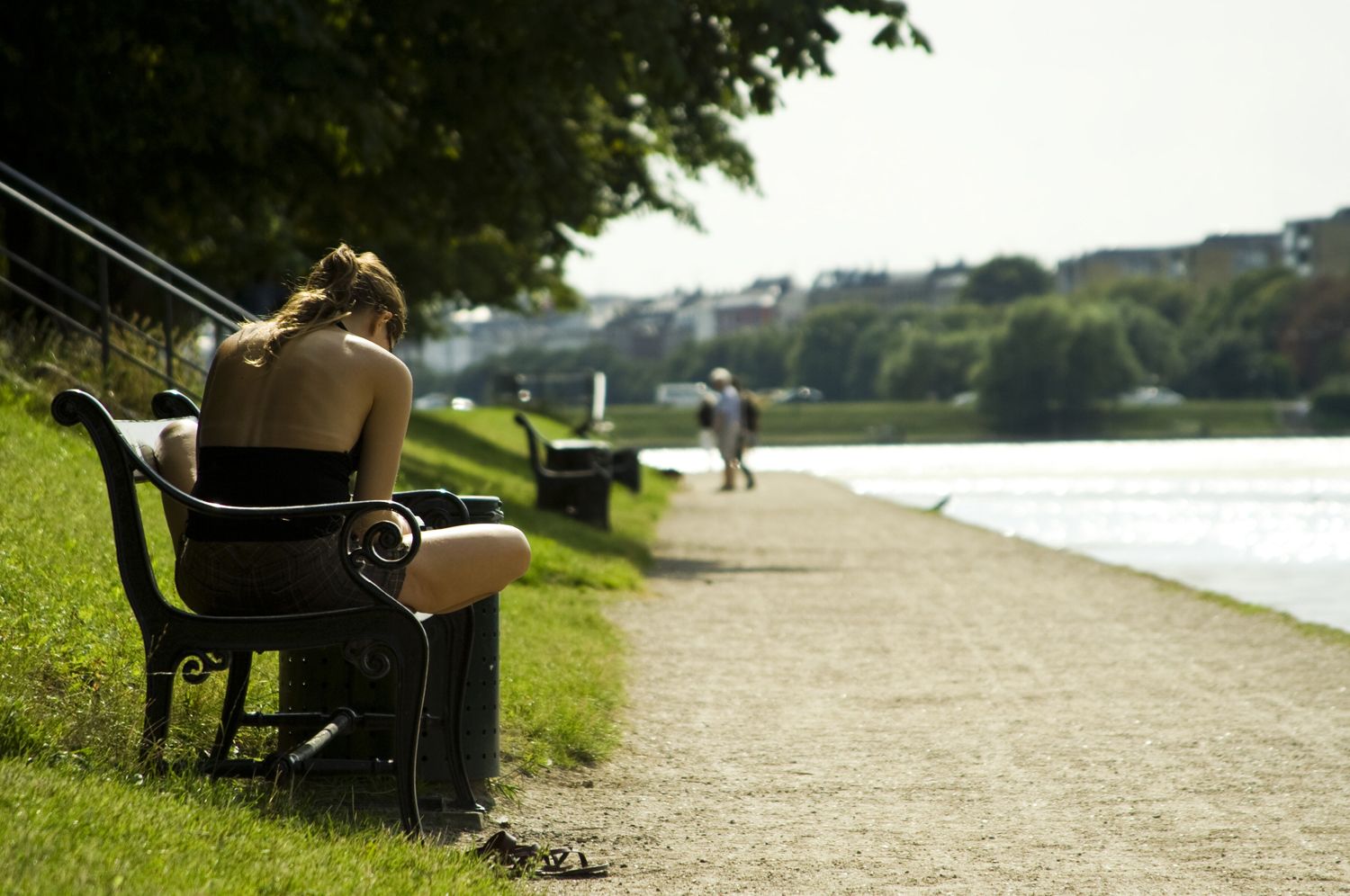
While unlikely to feature on most tourists’ checklists, one of the first landmarks that visitors to Copenhagen are confronted by is not the Little Mermaid statue, the Round Tower or Christiana, but a curious series of rectangular lakes running from east to west.
In the summer, they provide the city with several popular coffee spots, while in the winter, they transform into vast skating rinks. They remain popular with joggers yearlong and, perhaps most importantly, act as a compass for newcomers to help them should they get lost.
So how did this useful navigation point come into being? For the answer, we need to delve deep into Copenhagen’s history.
Sum of its ramparts
Absalon, known then as the bishop of Roskilde, founded Copenhagen in 1167 when he endorsed the construction of a castle at the site where Christiansborg, the nation’s Parliament, stands today. Back then, this part of Zealand was referred to only as ‘the port’, but all that changed as the settlement took its first tentative steps under the watchful eye of the church.
It wasn’t until the 1600s that Copenhagen became regarded as the nation’s most important city. By this time, the city was the property of the king, and all the major administrative bodies had come to settle there. The city’s reach was defined by the ramparts, which lay at what is now Gothersgade to the northeast, Nørre/Øster Voldgade to the northwest, HC Anderson’s Boulevard to the southwest and the harbour to the southeast.
Immediately outside the city wall lay man-made moats, the remains of which can be seen today in Tivoli, the Botanical Gardens and Orstedparken. Just beyond those fortifications, cattle grazed on green grass, and further northwest lay a small stream almost one kilometre outside the city. This would later be developed into Søerne, the three lakes we see today.
Necessary diversions
It’s worth noting that the original Copenhagen was built without the use of any major natural water bodies – there were none in the immediate vicinity. The nearest lake, Lersøen, now dried up, lay a long way northwest of the city. The city’s drinking water came from wells, but the need arose for a river strong enough to power several water mills.
The aforementioned stream, located near Bispeengen, was directed towards the city. This water, before being used to fill the moats and power the mills, was dammed and collected into the first of the three lakes, Peblinge Sø (‘Student/Little Priest Lake’ – named at a time when the church were the sole educators).
Meanwhile, several outlying water sources were redirected to join the original Bispeengen stream, while Utterslev Mose and Gentofte Lake, which lie further north, were added to the city’s supply after streams leading from both were connected and dammed to form Emdrup Lake. This increased the city’s available power capacity significantly.
Protecting the city
Following a siege of the city in 1523, the city’s water system was subjected to a complete overhaul in order to strengthen its fortifications. It was decided that the moats should be deepened. The capacity of Peblinge Sø was increased with the introduction of a new lake, Sortedam Sø (Black Dam Lake, later split into two by Fredensbro in 1878). Lakes now covered the entire area between Østerbrogade and Gyldenløvesgade, supplying the moats with water and taking the sewage away.
During the 1570s, under the rule of Christian IV, the benefits of Emdrup Lake’s high altitude were identified. Several pressure lines were laid for the spring water to be fed directly to the city’s public fountains.
By the early 1600s, Christian IV had facilitated an enlargement of the dam, this time southwards from the end of Peblinge Sø. This formed the last of the lakes, Skt Jørgens Sø (St George’s Lake). With all the lakes now in place, they came to mark the city’s outer fortification line. In the event of another siege, the damming would allow the lakes to be flooded.
The lakes we know today
Not until the period between 1705 and 1727 were the lakes cleaned and the edges straightened to give them their current appearance. Various private companies became engaged in the routing of the water system, but this ended with the nationalisation of the water supply in 1812.
The government was soon swamped with complaints about the water quality, particularly in reference to the water being pumped from the lakes. 1859 saw Søerne gradually become phased out as a source of drinking water and become a recreational area and sanctuary for birds.
In the latter half of the 19th century, the ramparts lost all their military significance. Many Danes came to the city for work, causing a population problem so severe that the need for living space brought about the rapid development of new housing beyond the lakes.
Vesterbro, Nørrebro and Østerbro were created, and the lakes were transformed into the distinctive topographical landmarks we recognise today.