Researchers from Denmark’s national space institute, DTU Space, have developed new drone technology that will ensure more efficient monitoring of climate change in the Arctic.
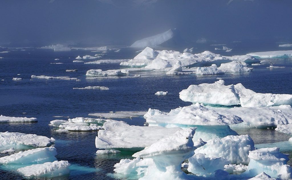
So far, the process of mapping changes in the Greenland ice sheet and sea ice in the Arctic has been done by using data from satellites and airborne measurements closer to the land surface.
However, new mid-range drones can use laser scanners and GPS to measure ice thickness with a precision of up to a few centimetres in 50-100 metre wide ‘tracks’.
The drone, which weighs about 20 kg, will be used by researchers at Villum Research Station in northern Greenland. Additionally, its findings will complement DTU Space’s ongoing monitoring programs conducted in collaboration with, among others, the European Space Agency, ESA.
READ MORE: Greenland research station to monitor climate change
Very accurate GPS
“We are pleased to contribute a new solution for climate monitoring in Greenland,” said Kristian Pedersen, the head of DTU Space.
“[We have developed] a new technology for the measuring tools installed in the drone, which must be both small and robust to operate in the harsh Arctic climate.”
The drone technology was developed in collaboration with the aviation consultancy Integra and Aarhus University.
“It is composed of a laser scanner, originally developed for self-propelled vehicles, a camera and a very accurate GPS system supplemented with gyroscope and accelerometers similar to those used in aircraft,” explained DTU Space researcher Eric Haase.
“All of this is connected to a minicomputer the size of a large matchbox, which receives data from the camera, laser scanner and GPS system during a three to four hour long flight.”