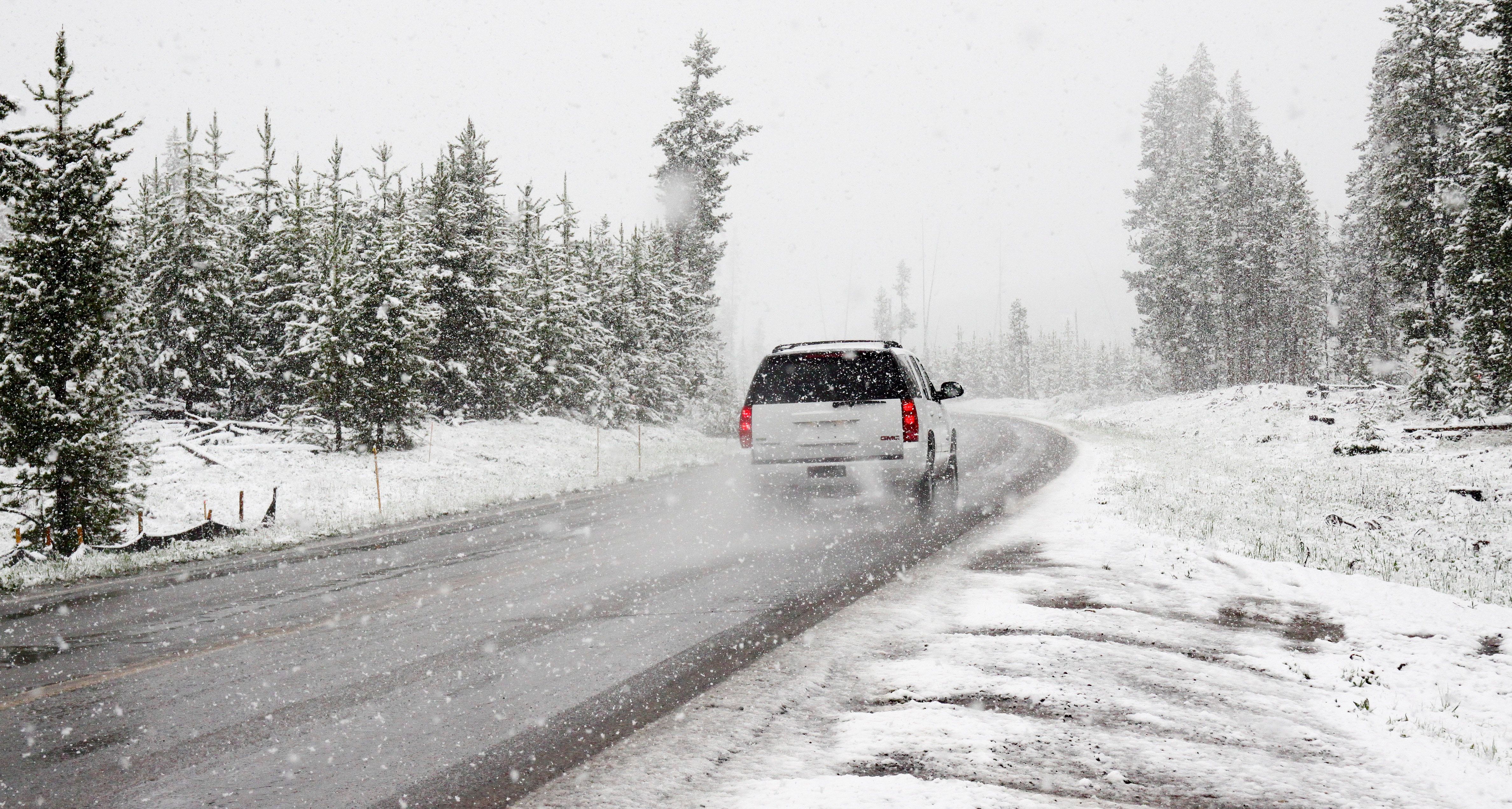
It could snow a lot later this week, reports TV2. But as things currently stand, the forecasters cannot be certain.
They are more confident about it being wet, however. By the end of Sunday, as much as 63 mm of precipitation will have fallen on the capital – with a fair proportion arriving on Wednesday in the shape of rain. As much as two week’s worth could fall.
Friday could bring a blizzard
Temperatures across Denmark will remain unseasonably warm until Thursday lunchtime, but a change in the wind direction, as low pressure begins to move in from the northwest, could potentially result in heavy snow across the northern half of the country moving into Friday.
High wind speeds could render blizzard-like conditions.
Capital in the firing line
More or less the whole of Zealand will be affected, but not the islands to the south. The capital region could end up getting 16 cm of snow by 23:00 on Friday, but it could also end up amounting to a further 16 mm of rain.
Parts of northern and mid Jutland could end up with 30 cm of snow, with more potentially following on Saturday.


