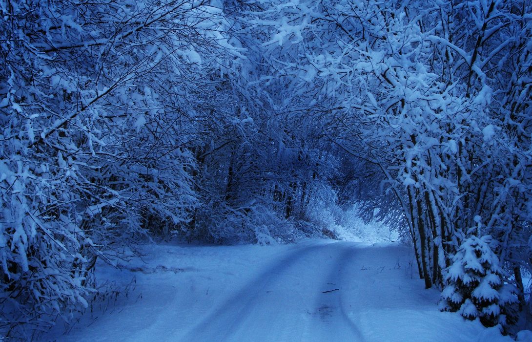
Tomorrow could be a good day to work at home – especially if you live in north Jutland, as high winds and heavy snowfall will most likely cause a blizzard in the region.
In Aalborg, for example, snowfall is expected to start at around 17:00 on Monday evening, but the wind speed will be modest until 10:00 tomorrow morning, at which point it will peak at 10 metres/second, remaining strong until the end of the afternoon.
DMI has accordingly issued a snowstorm warning for both northern and central Jutland, where up to 40 cm of snow could fall by the time it tails off at midnight.
Capital Region: very windy but with how much snow?
As things stand, North Jutland will suffer the worst of the weather because it will most likely lie smack in the middle of a path of low pressure coming in from the North Sea.
However, should the low pressure encroach southwards, it could potentially bring the blizzard to Zealand, and possibly even the Capital Region, where wind speeds are expected to hit 12 m/s at 14:00 and a combination of snow, sleet and rain is forecast for the entire day – up to 10 cm.
“It is still too early to say how violent it will be and whether it will be a regular snowstorm. But it is quite certain there will be some snow, and it will be quite wintry,” commented DR weather expert Louise Gade.


