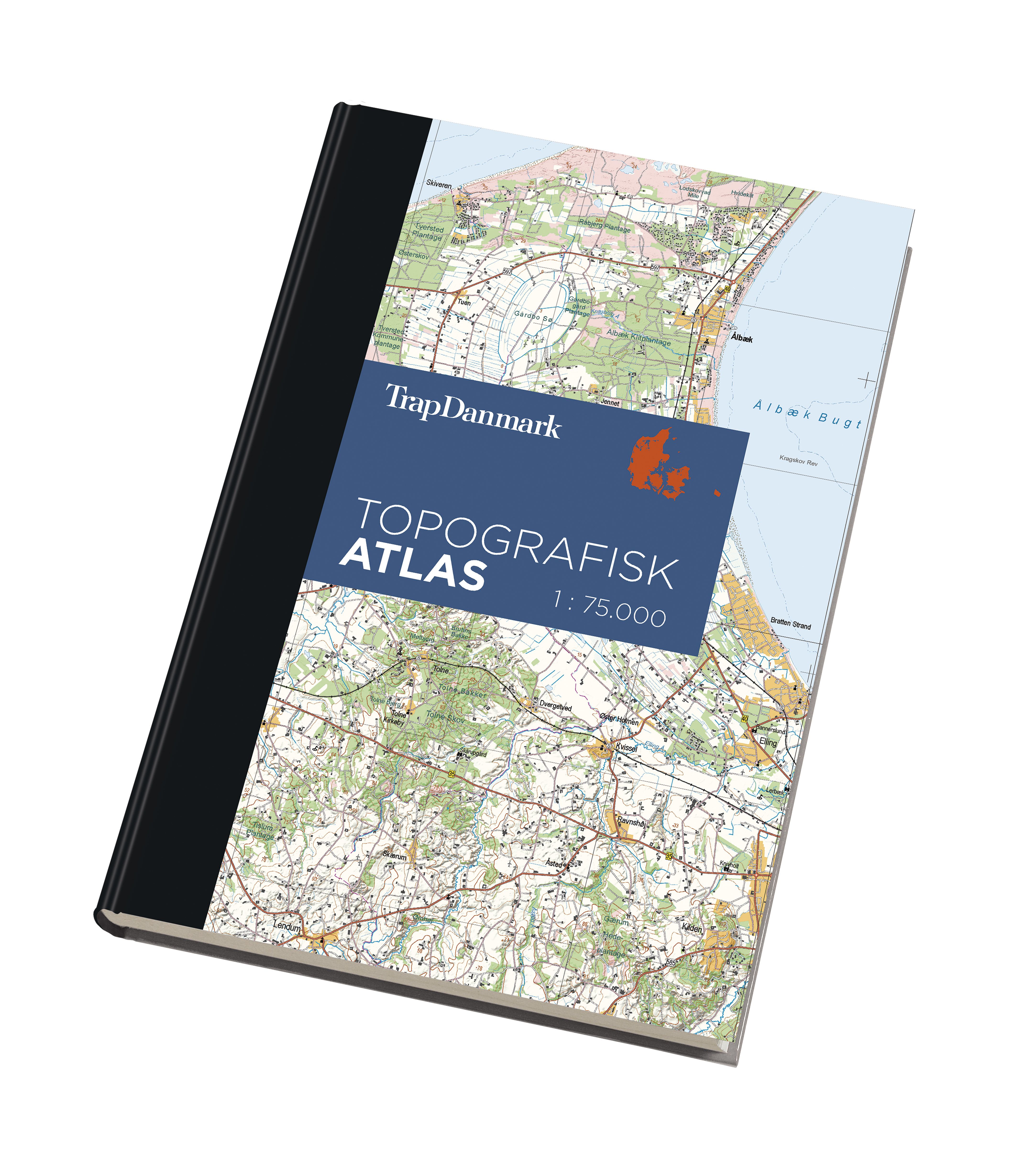
Trap Danmark has – in co-operation with the Energy, Power and Climate Ministry – released a new topographical atlas of Denmark printed with a three-dimensional (3D) effect.
Thanks to a new mapping technique using shadow effects, it is possible to see the shapes of the landscape.
The 3D atlas is according to a scale of 1: 75,000 and shows many details including towns, forests and lakes.
“We based our atlas on topographic data, location names and altitude data provided for free by the Energy, Power and Climate Ministry,” stated Niels Elers Koch, the editor-in-chief at Trap Danmark.