During the passing of Storm Alfrida over Denmark these past two days, its potent winds were of secondary concern to some citizens.
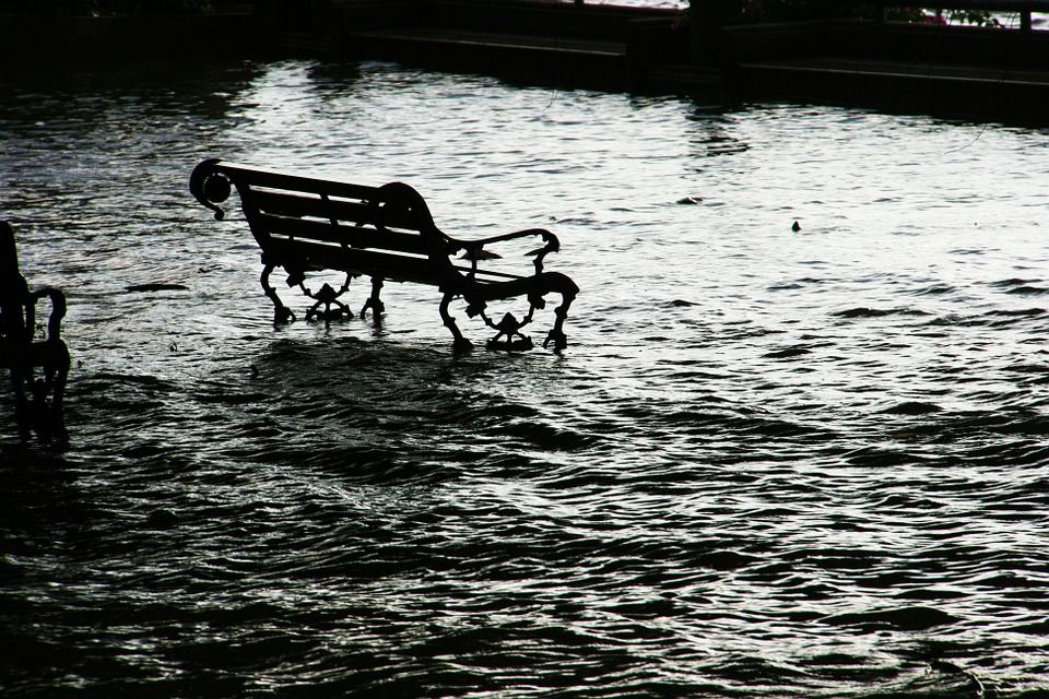
The low pressure system also led to significant flooding, particularly in the southern part of the country, where water levels in some areas reached 1.7 metres above normal.
Initially, high water levels were registered along the southern coasts of the Kattegat Strait, as well as the fjords of Odense and north Zealand. But as the storm moved into the Baltic Sea, water levels rose further in the southern part of the country.
READ MORE: Death toll up to eight in Danish train disaster
Baltic bash
Bagenkop on the island of Langeland saw the highest water level increase at 1.72 metres – a level that has only been reached once in the town since registrations began in 1976 – while a number of areas saw water levels reach 20-year highs.
The wind, as blistering as it was, actually prevented further flooding due to the direction it was blowing in. Had it turned more eastwards and north-eastwards, the situation could have worsened significantly as the water from the Baltic Sea would have been given an additional ‘push’ in the direction of Denmark.
The Stormrådet storm council wrote today that the storm had led to flooding along the northern coast of Funen, areas along Jutland’s eastern coast, the islands of Langeland and Ærø, as well as parts of Lolland, Falster and southern Zealand, and several islands in Smålandsfarvandet.
Perhaps the worst flooding caused by the Baltic Sea came on 13 November 1872 when water levels exceeding 3 metres above the norm were measured in some regions of Denmark.


